All News
News
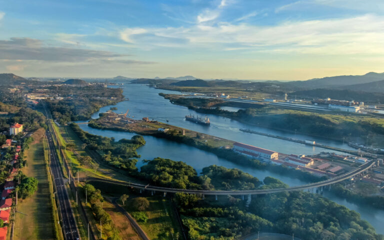
Panama Canal Increase Booking Slots and Draft Limitations

Press Release
Inchcape re-Tcertified by Ethixbase360
Article
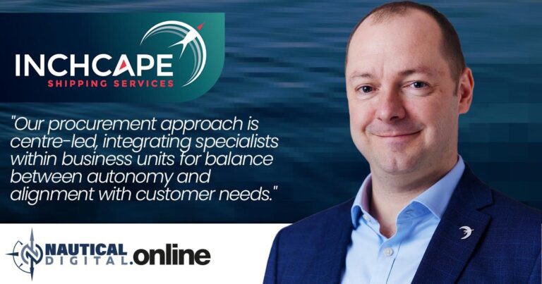
Procurement with Purpose: Simon Potter’s Strategic Vision at Inchcape Shipping…

Article
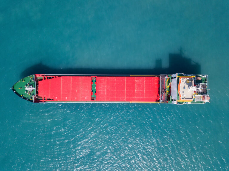
Risks impacting global shipping in Q1 2024
Newsletter
Bulk Shipping Watch Newsletter – March 2024
Article
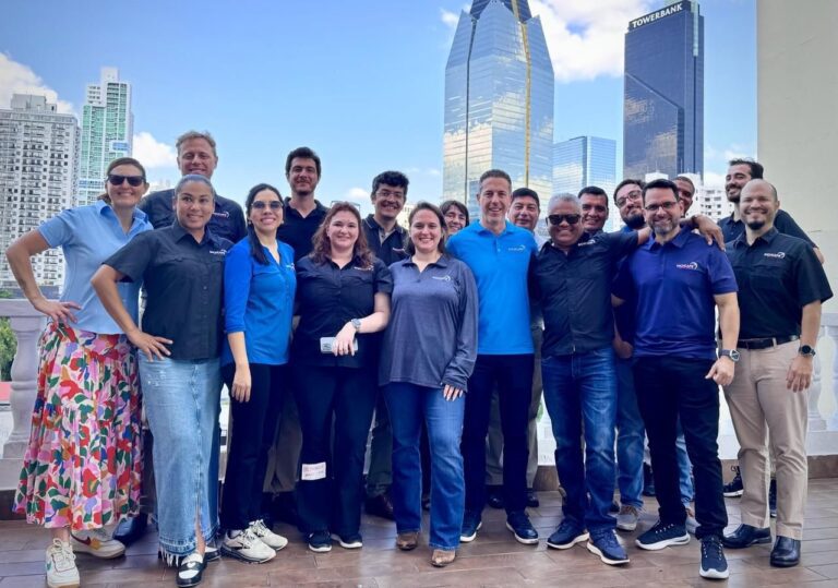
Inchcape Americas Gears Up for Growth With New CEO
Press Release
Inchcape Expands Global Presence with Opening of New Office in Busan, South Korea
News
Increase in the Number of Slots in the Panamax Locks
Press Release